GIS
Geographic Information System (GIS) Trainings
Note: FREE training slots were provided to 2-3 members of PAEPI, PhilARM, PFUCA, NAUCP, AERA, and local partner organizations in any of the GIS Training hosted by PN in Manila, LGU in Balanga Bataan, and in MAAP Bataan; prior to the 3rd PAEPI Biennial Convention and National GIS Conference
March 6- 9, 2012 , Philippine Navy, Headquarters, Manila
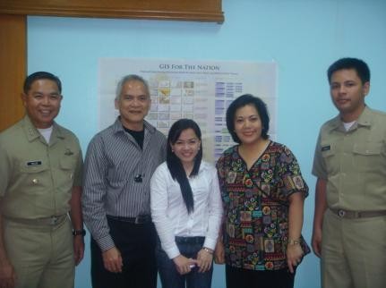
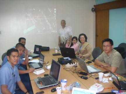
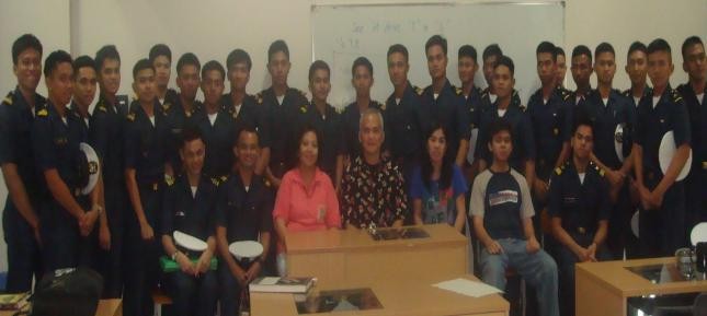
GIS seminar –workshop activities at the Philippine Navy (PN) headquarters with
PN-N8 Education & Training headed by Capt. Anthony Sean Villa, PN
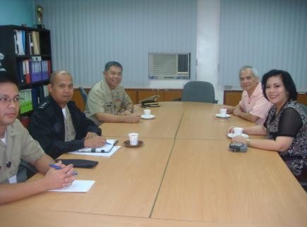
March 12, 2012 Meeting with Bataan Governor and (LGUs), Balanga Bataan
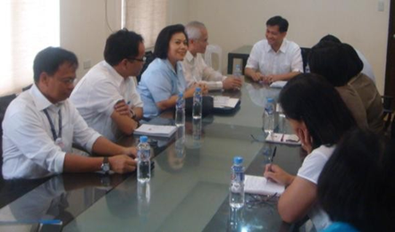
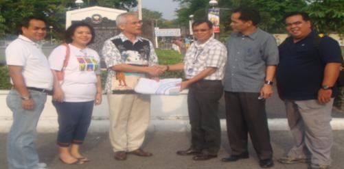
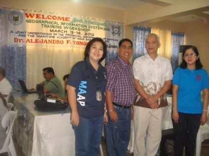
In Balanga Bataan as shown on souvenir shots below: Dr. Tongco and Dr. Baylon meeting with Hon Mayor Joet Garcia with provincial heads GIS coordinators

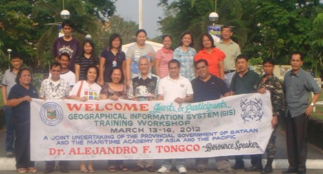
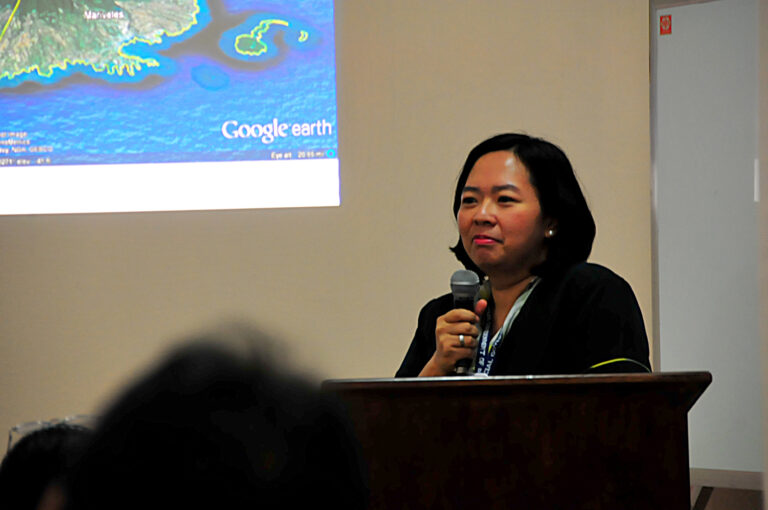
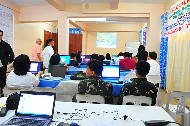
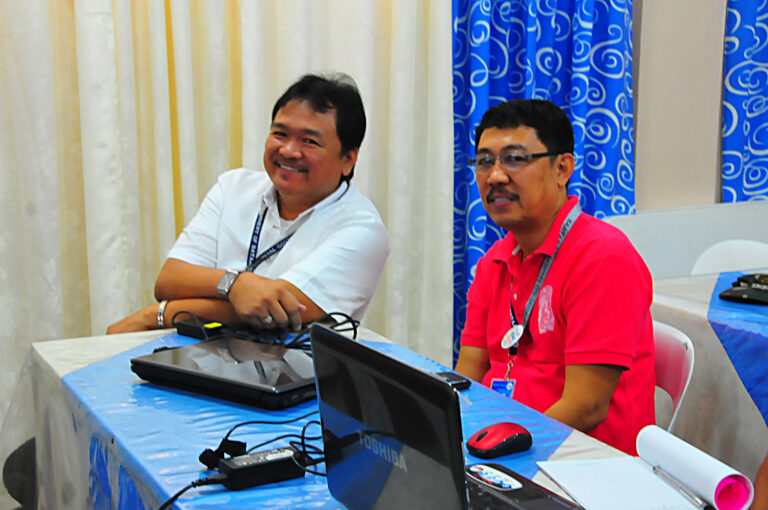
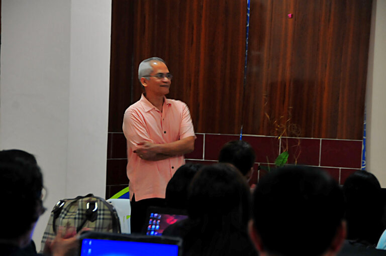
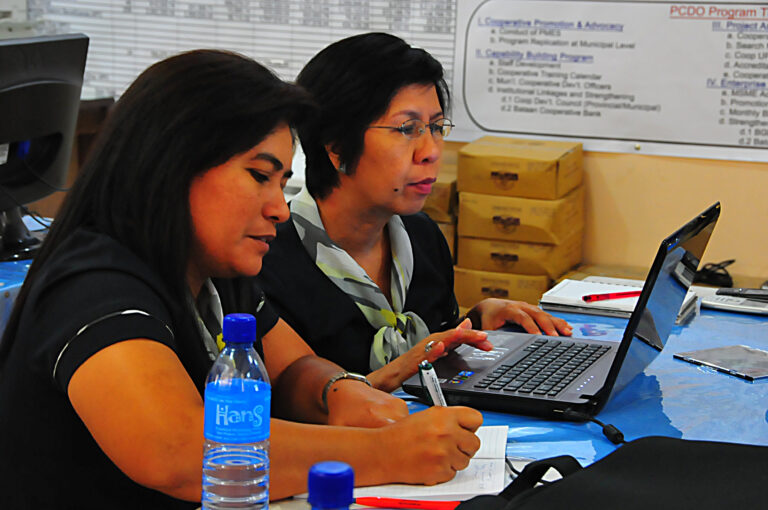
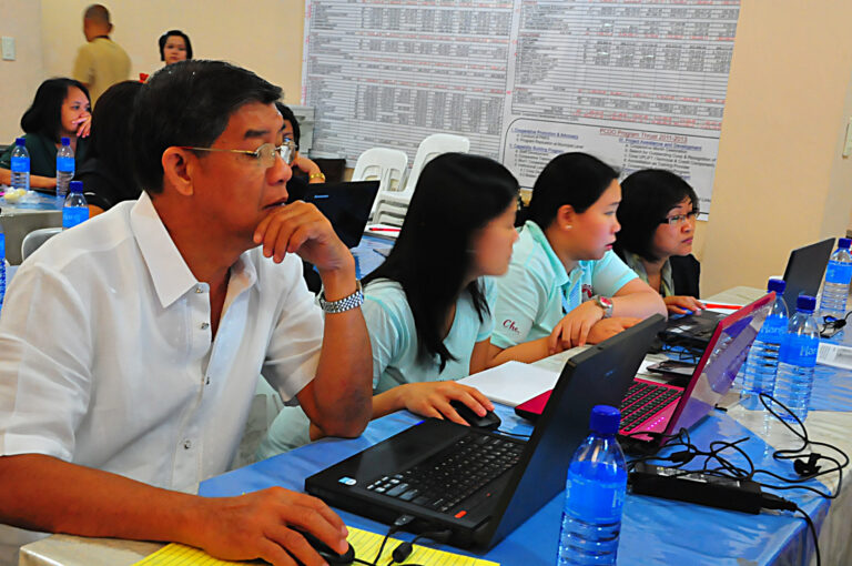
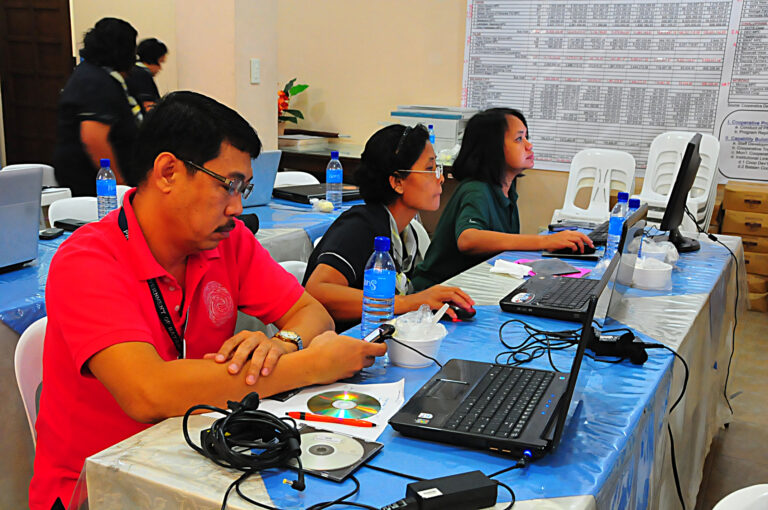
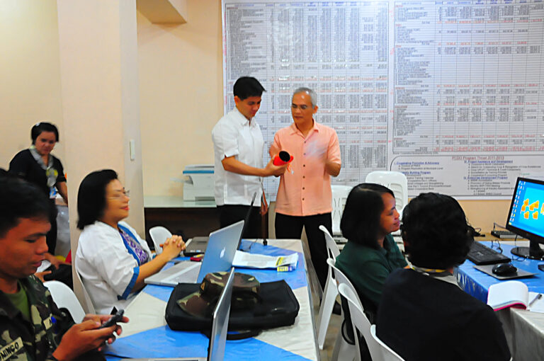
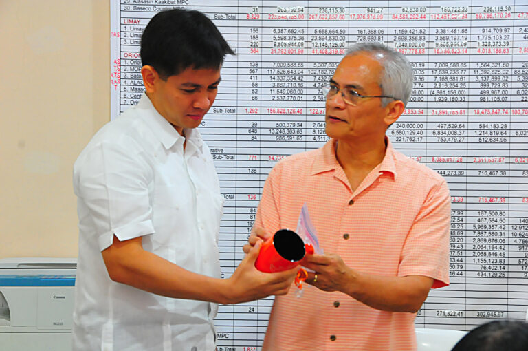
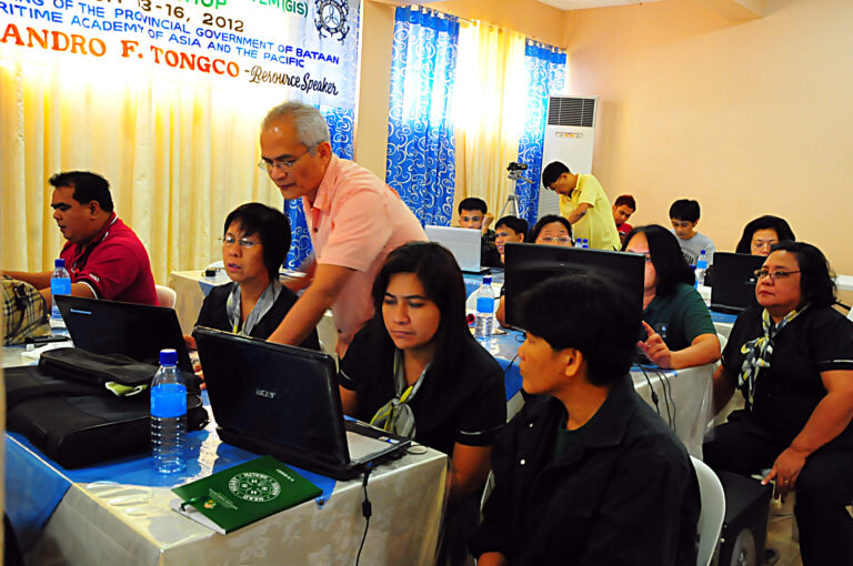
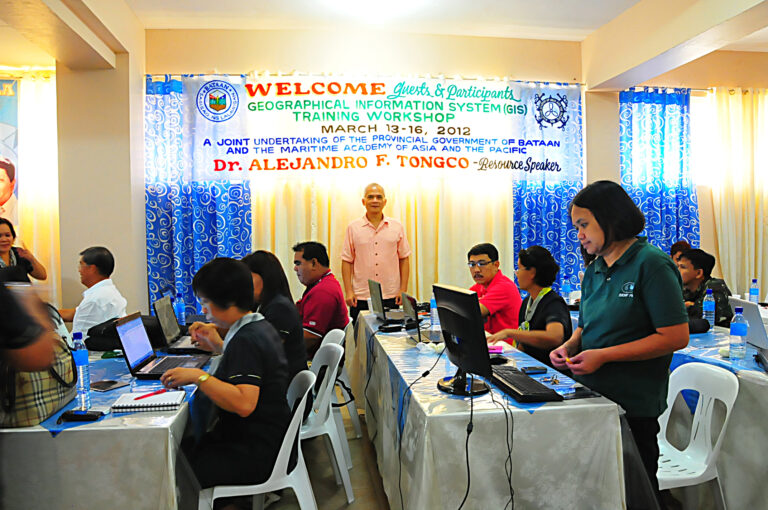
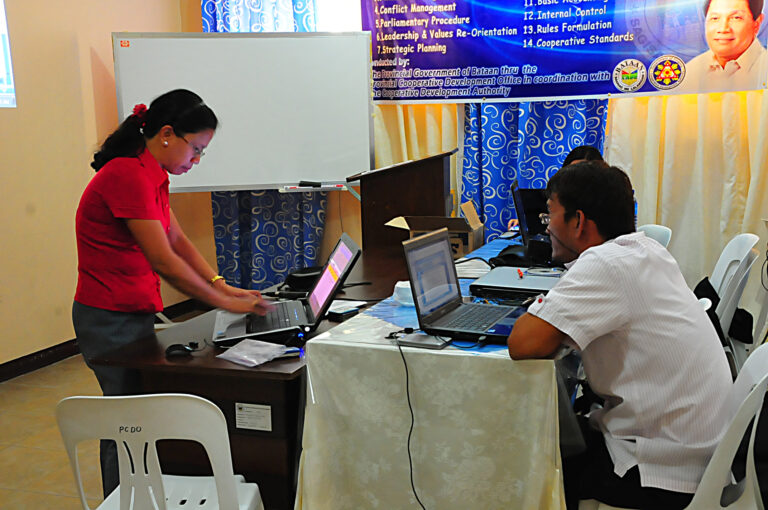
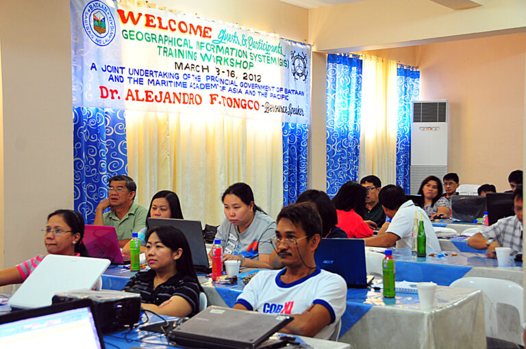
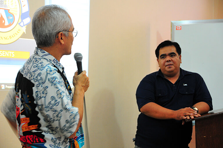
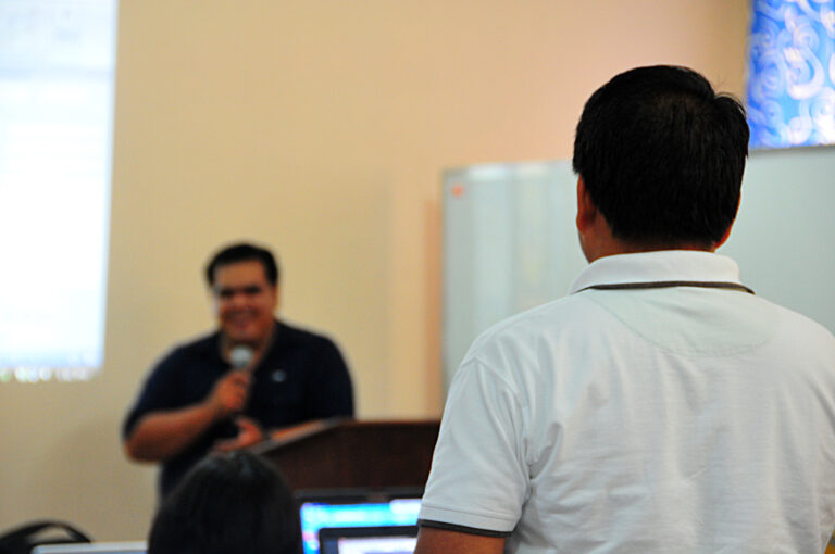
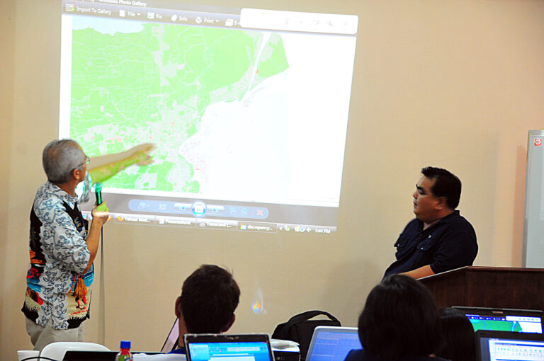
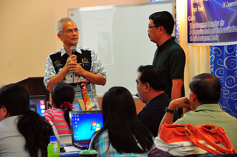
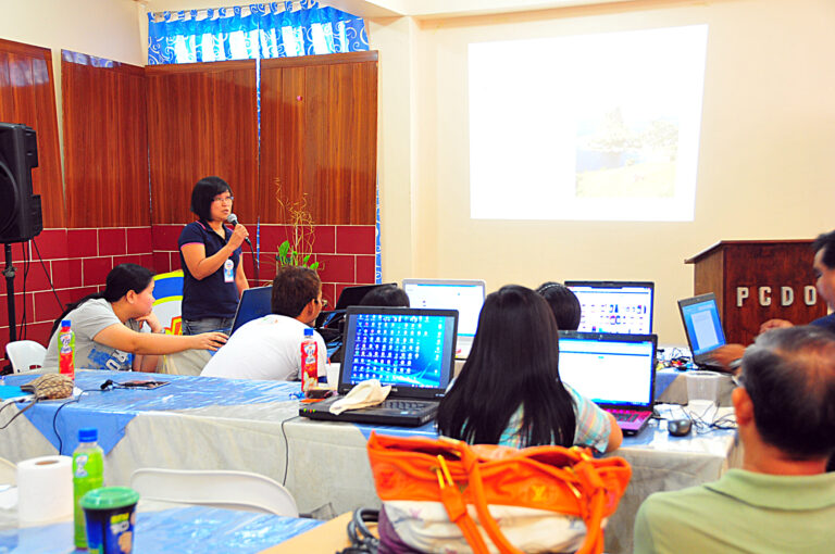
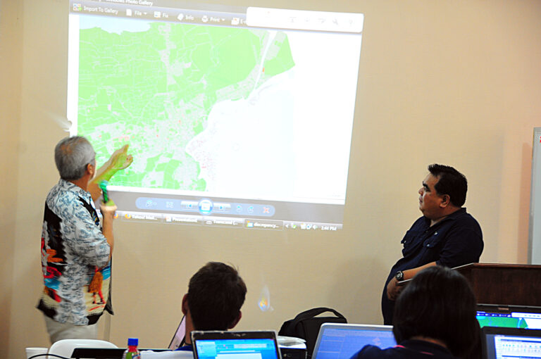
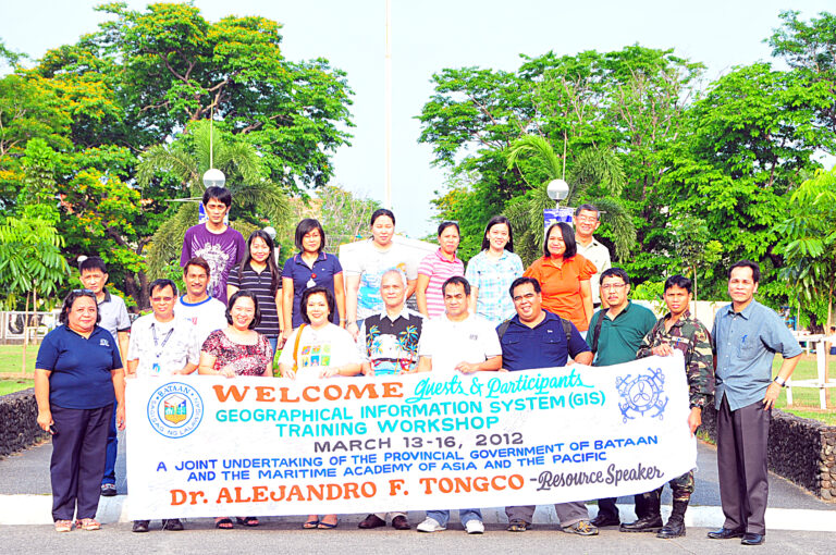
March 13, 2012 , GIS Training aT LGUS, Balanga Bataan
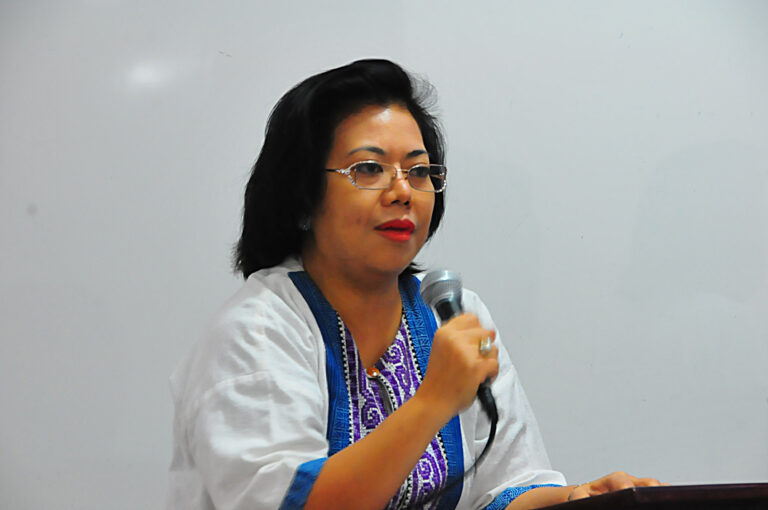
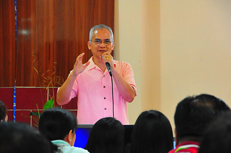
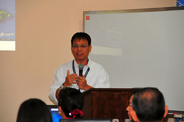
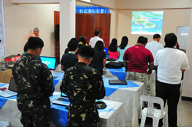
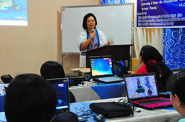
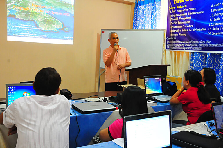
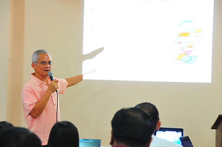
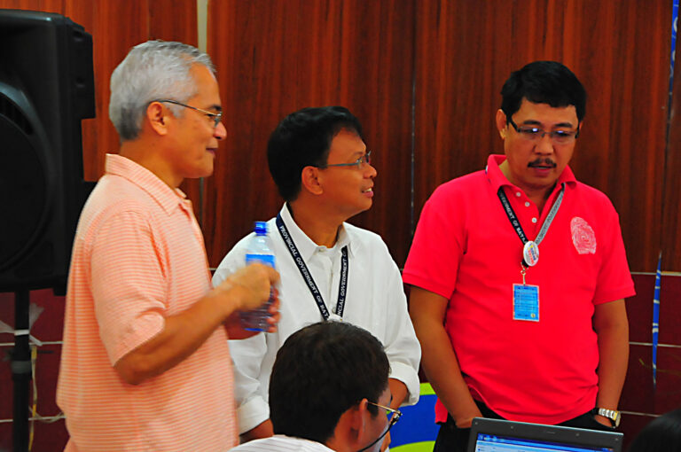
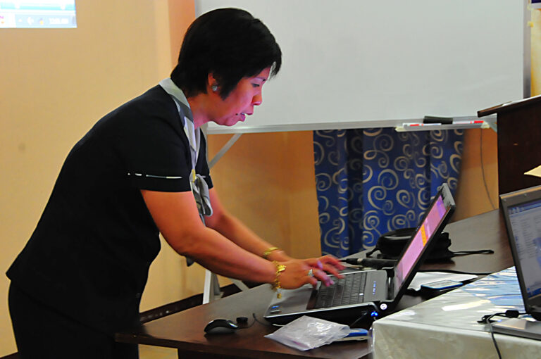
March 14 , 2012, GIS Training aT LGUS, Balanga bataan
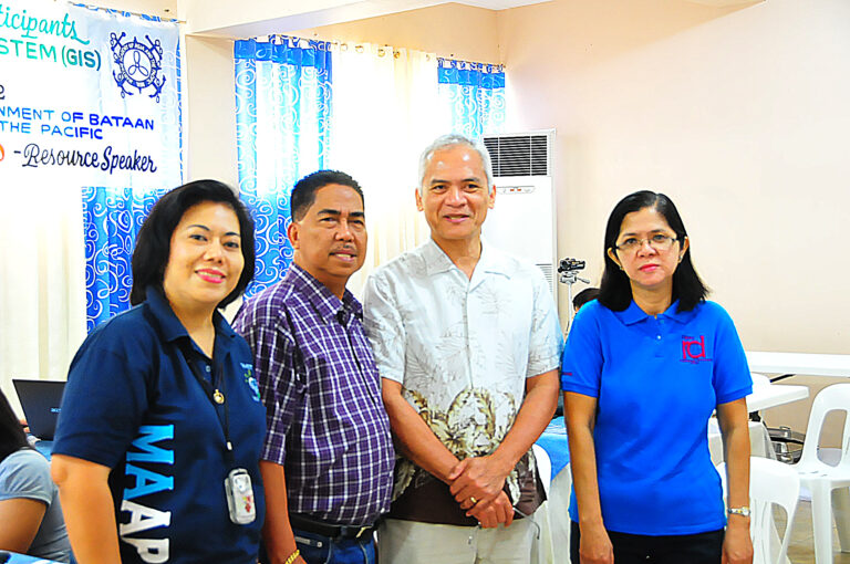
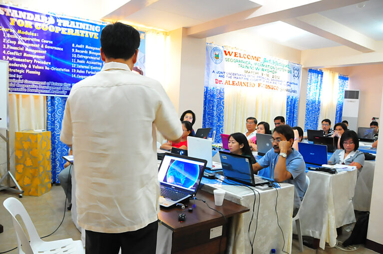
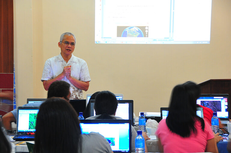
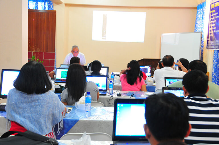
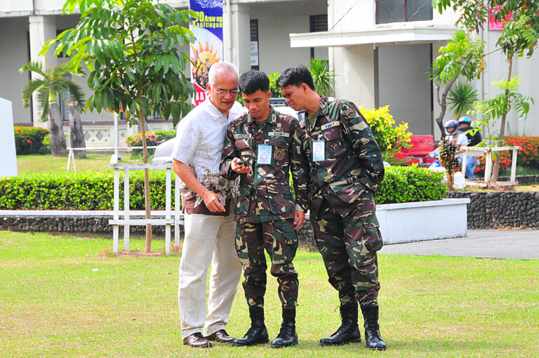
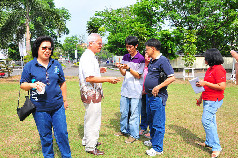
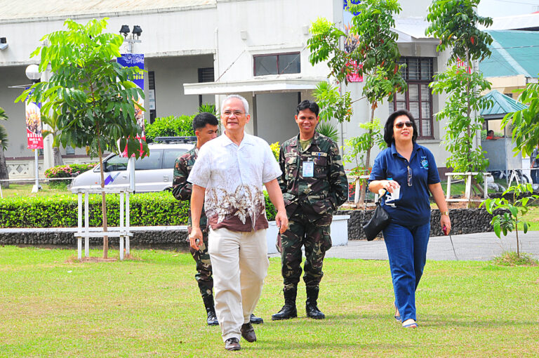
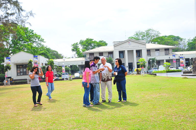
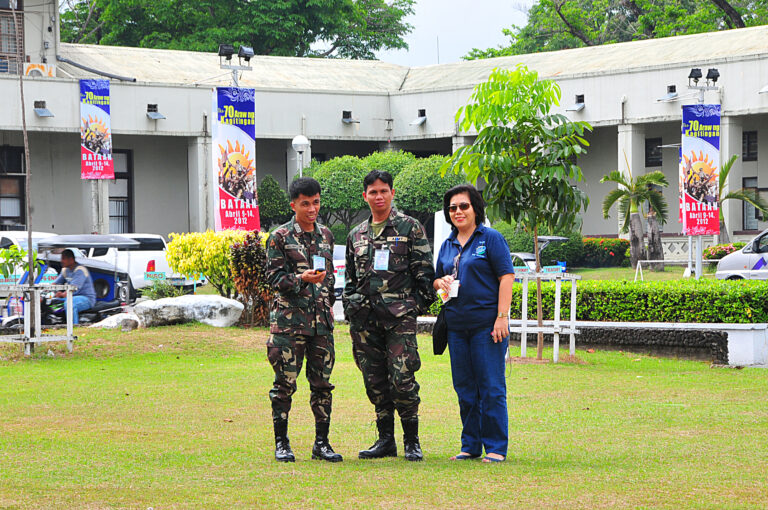
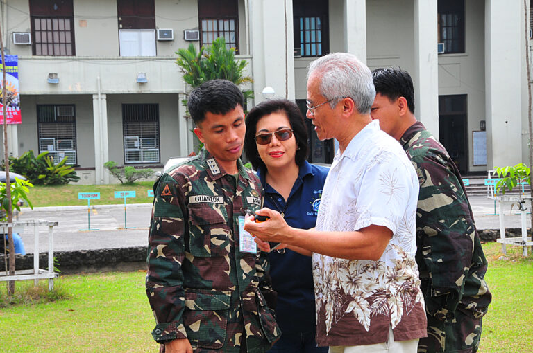
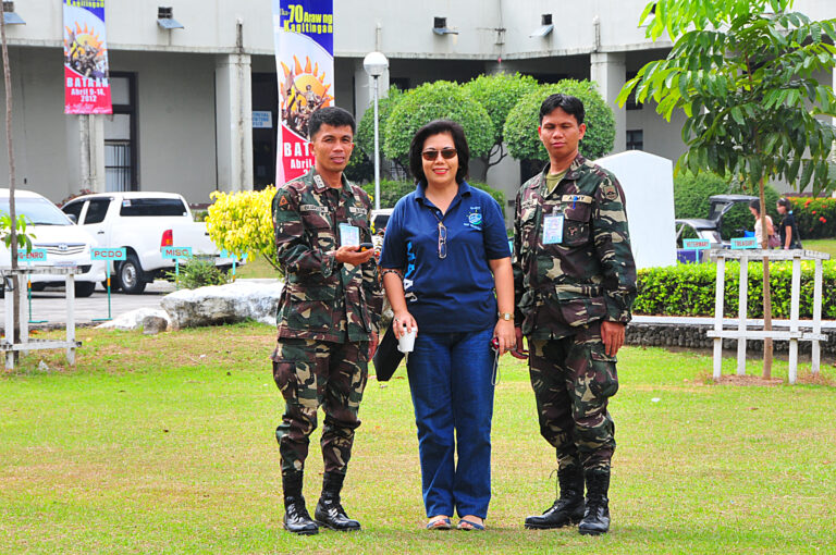
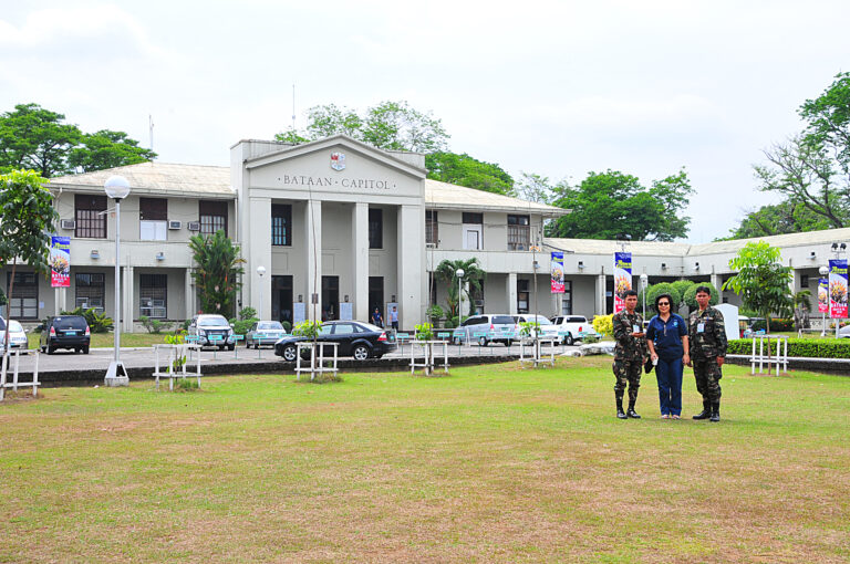
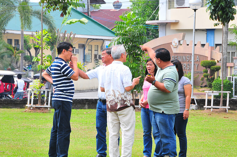
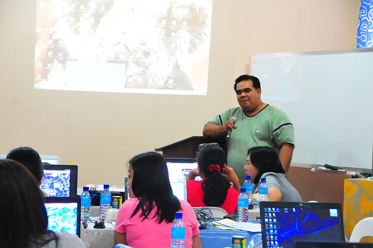
March 16 , 2012, GIS Training aT LGUS, Balanga Bataan
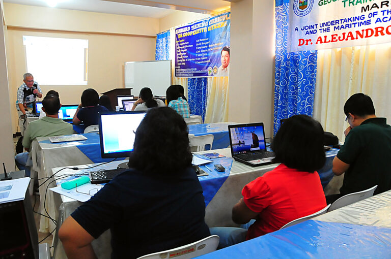
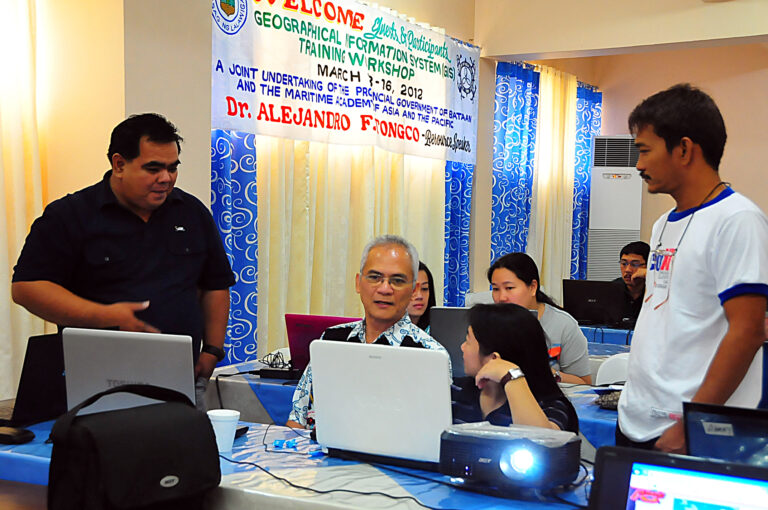
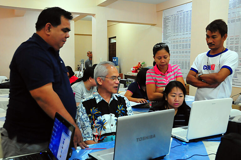
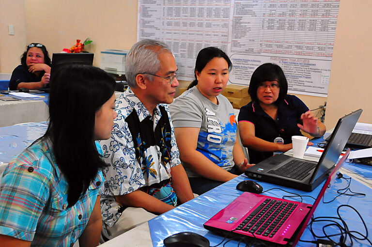
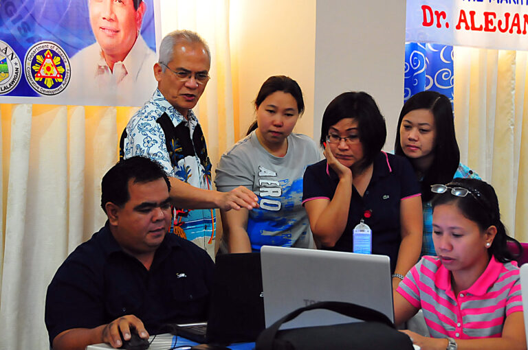
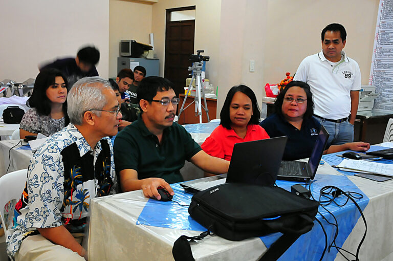
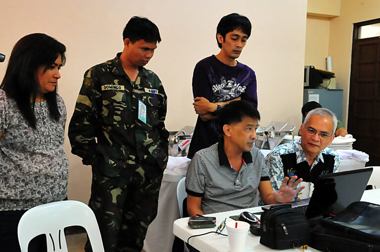
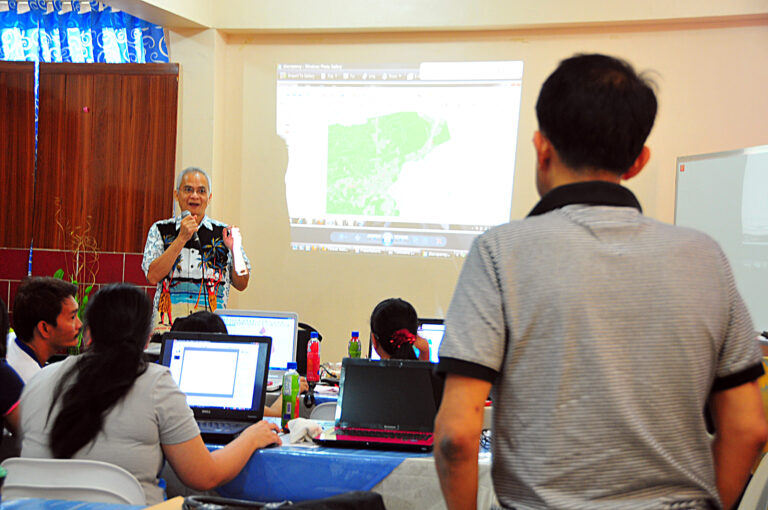
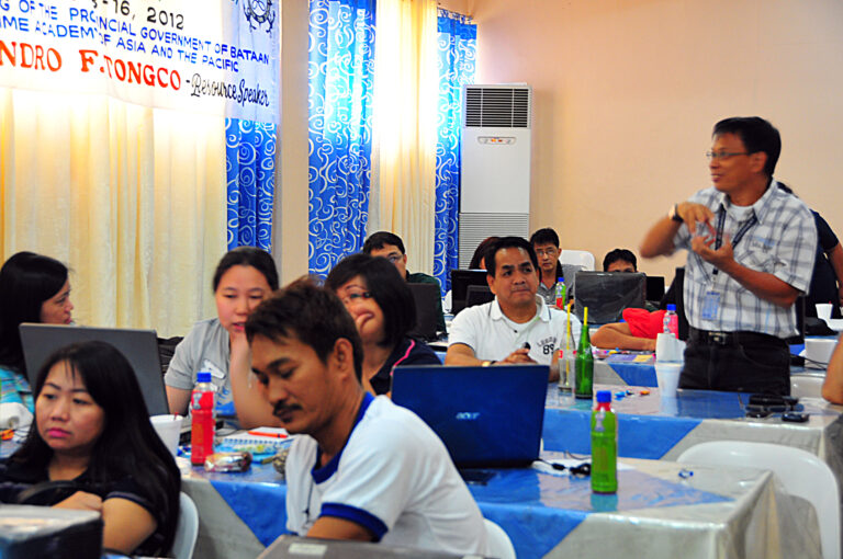
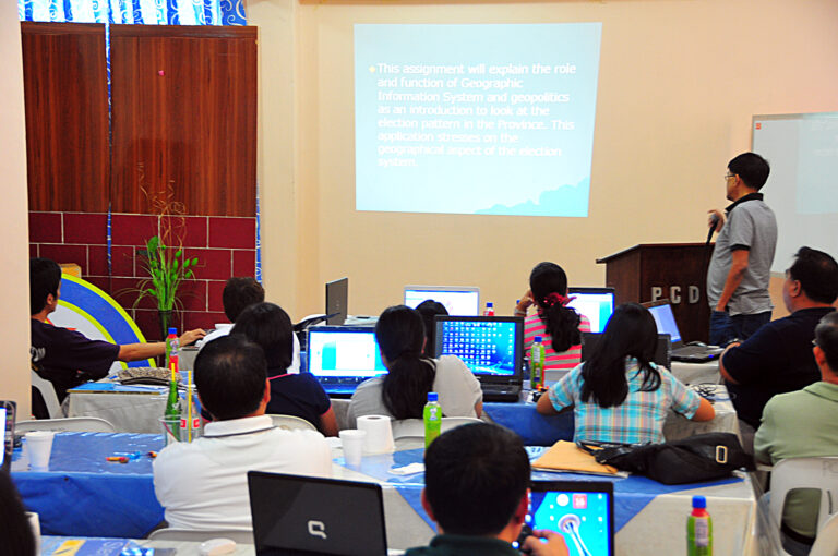
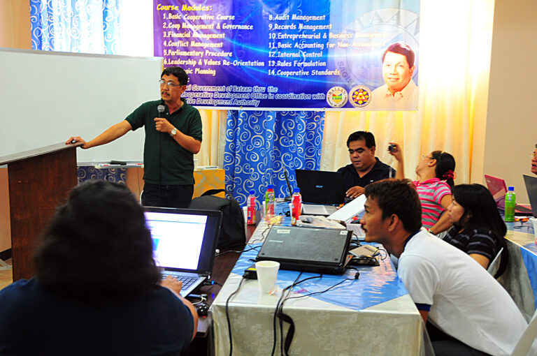
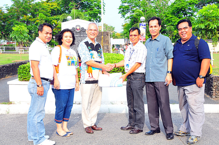
March 12, 17, and 24 ( three Saturdays), GIS Training , MAAP Bataan
for 30 selected & interested students who are members of MAAP Research and Extension Services Circle Club (MRESC) and UNESCO accredited MAAP- PAEPI Jr Club.
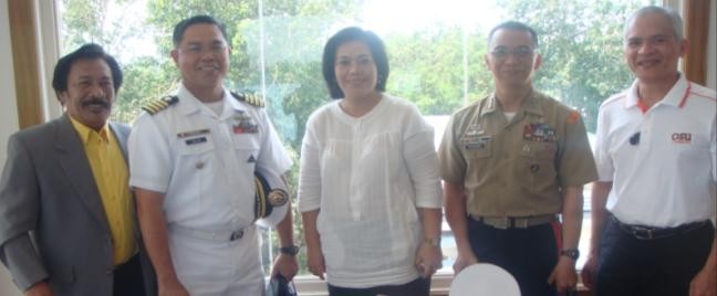
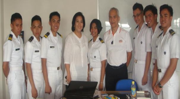
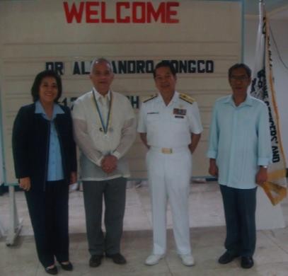
The photo below shows L-R: Mr. Yul Malicse, Capt Sean Anthony Villa, PN, Dr. Baylon, Col Parreno, and Dr. Tongco at MAAP campus on March 12, 2012.
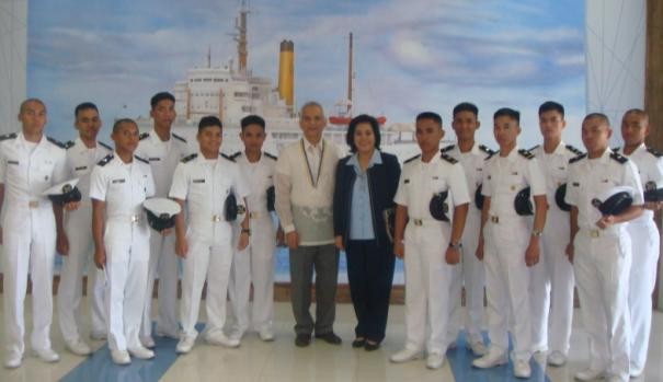
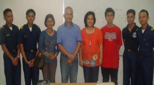
March 20-23, 2012 ( Available participants from BPSU, LGUS, MET, and HEIs), BPSU , Bataan
at MAAP, with Bataan Peninsula State University 25 faculty and staff with some MAAP and PN staff in attendance. Photo shows after the initial meeting with BPSU President Dr. Magpantay seated and standing from L-R: BPSU VP RES Dr. Rodis, Dr. Baylon & Dr. Tongco. Aside from the main speaker Dr. Tongco, Dr. Baylon also a BPSU International Exchange Professor had lectured on “GIS-based Project proposal writing “ and “GIS Project Synthesis, Implementation, and Reporting: Guide Questions“ and Capt Raz for his maritime technical expertise, The following friends from Balanga City are greatly appreciated as they travel to MAAP campus and assisted by serving as GIS speakers and facilitators (gratis), Mr. Gabriel Toelentino (MIS Head), Engr Enrico “Ric” Yuzon (PEO), Mr. Alexander “ Butch” Baluyot (PMO), Mr. Cecil Guila (tax mapper III)
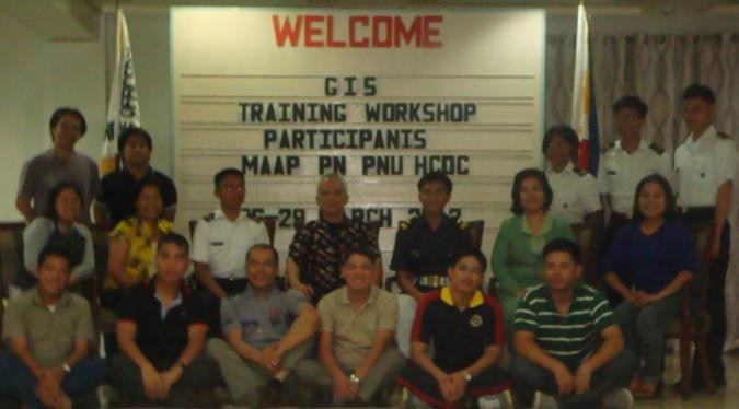
March 26-29, 2012 ( Available participants from other MET, HEIS, LGUs, PN, and students) , MAAP Bataan
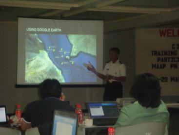
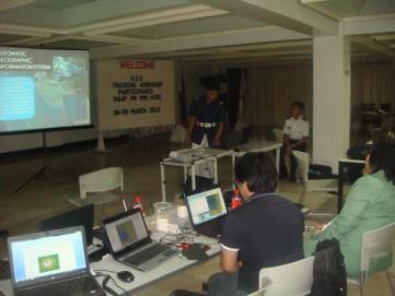
at MAAP and shared GIS slots to Phil Normal University, Holy Cross of Davao College, University of Cebu, etc other interested HEIS nationwide. Other participants were from Holy Cross Colege of Davao, Mindanao Sanitarium Hospital, Philippine Navy, PNU, PMMA, UC, etc Photo shows are the presenters with Dr group GIS-Based research Project entitled Tongco MAAP students presented their “Piracy Attack Analysis and monitoring through GIS “by 1/Cl Sun, Patrick John Austine and “ Integration of GIS to AIS by 1/Cl Espago, Marville Cullen. MAAP PO1 Ismael, Leandro presented “GIS-based analysis of Midshipman Fleet”. MAAP MITTD Staff Anjay Perlado presented Digitizing and Measuring Bagumbayan Paracili Camarines Sur “. The PNU group Ms. Zyralie Lotivio presented “ Budget Appropriations of the State Universities and Colleges in the Philippines for the Year 2012”. HCDC Prof Arnulfo Ramos presented “ Phenomenological Profiling of Davao Street Children Using GIS”, Allan Factora presented “Population Distribution of Albay “.Phil Navy presentation was: “PN Officer Geographical Assignment Management System “(Lt. Ventura and Ens. Estrada)
and “Simulation of Chemical Explosion in Metro Manila “( by Ens Benedict Milo and Ens Andre Neil Osoya) The presentations of 1/cl Espago and 1/Cl Sun were subjected to constructive critiques from PNU Professors from other universities namely: Zyralie Lotivio, Dean Zenaida Reyes, Tito Baclagan, Brando Palomar, Roxan Ormita and from Phil Navy Ens Andre Neil Osoya, who were one in appreciating the efforts and commended the presentation of MAAP students
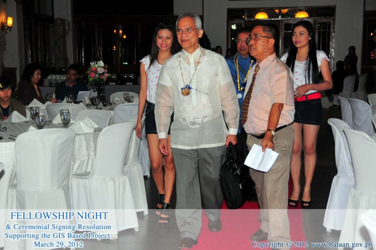
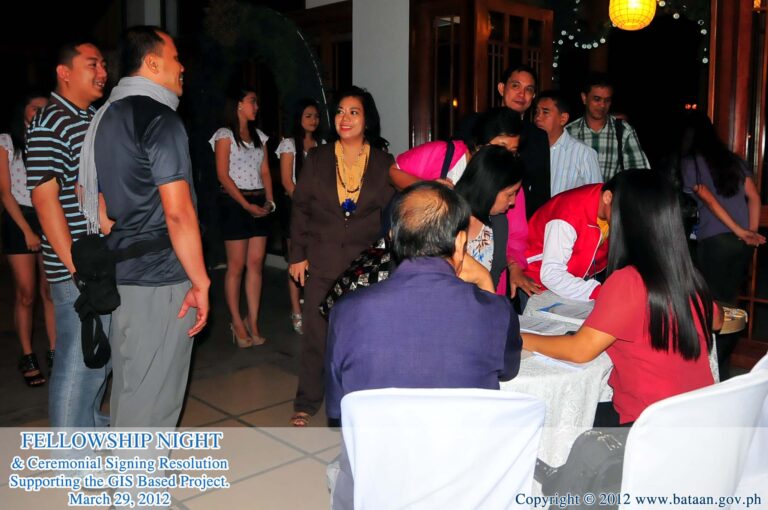
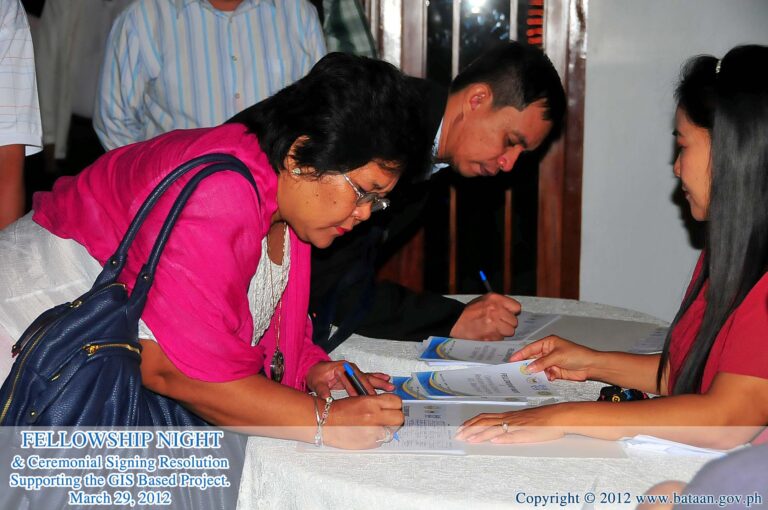
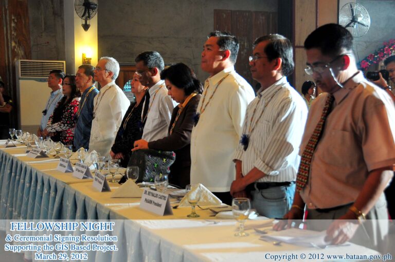
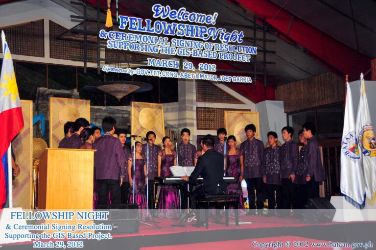
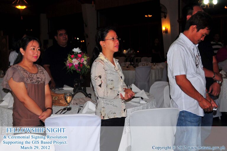
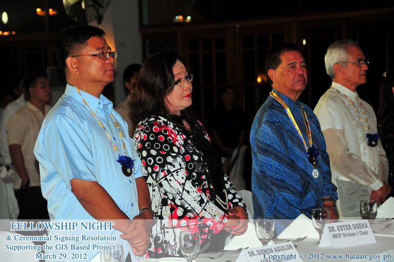
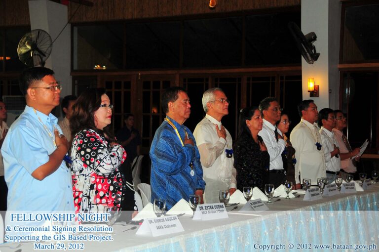
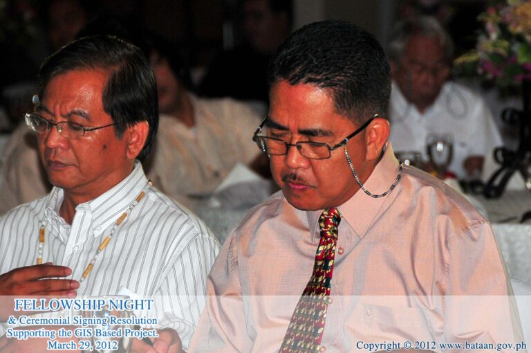
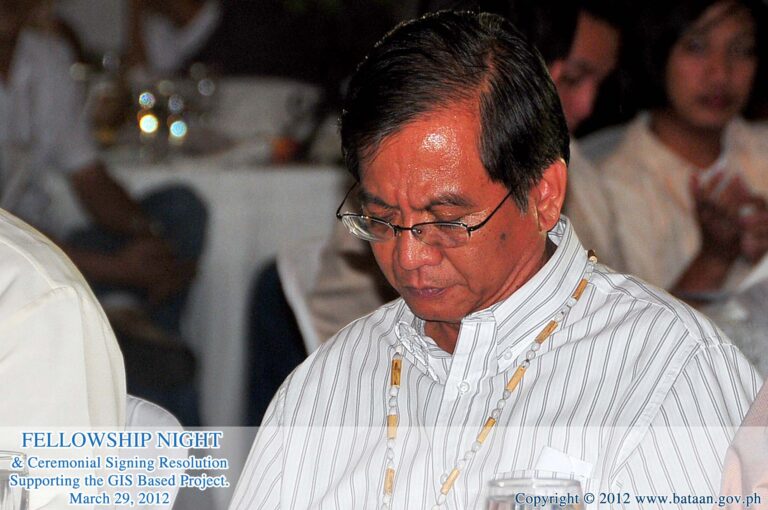
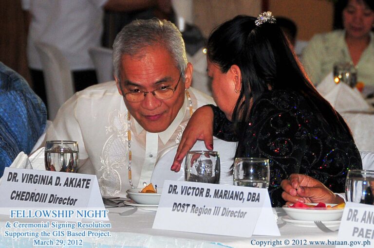
March 29-31, 2012 – Fellowship, 3rd PAEPI Biennial Convention on GIS and General Membership Assembly with GIS Resolution Signing , MAAP and BPSU Bataan
